Project Location
Maine, New York
Project Type
The above aerial map was provided for use in an Emergency Management Plan for an upstate New York School District. The deliverable also included an interactive map that shows high resolution photos of all the entrances of the building. A 3D model was also provided for the school and surrounding.
Feel free to explore the 3D model above by clicking on it. This model is a sample of the overall deliverable to the client.
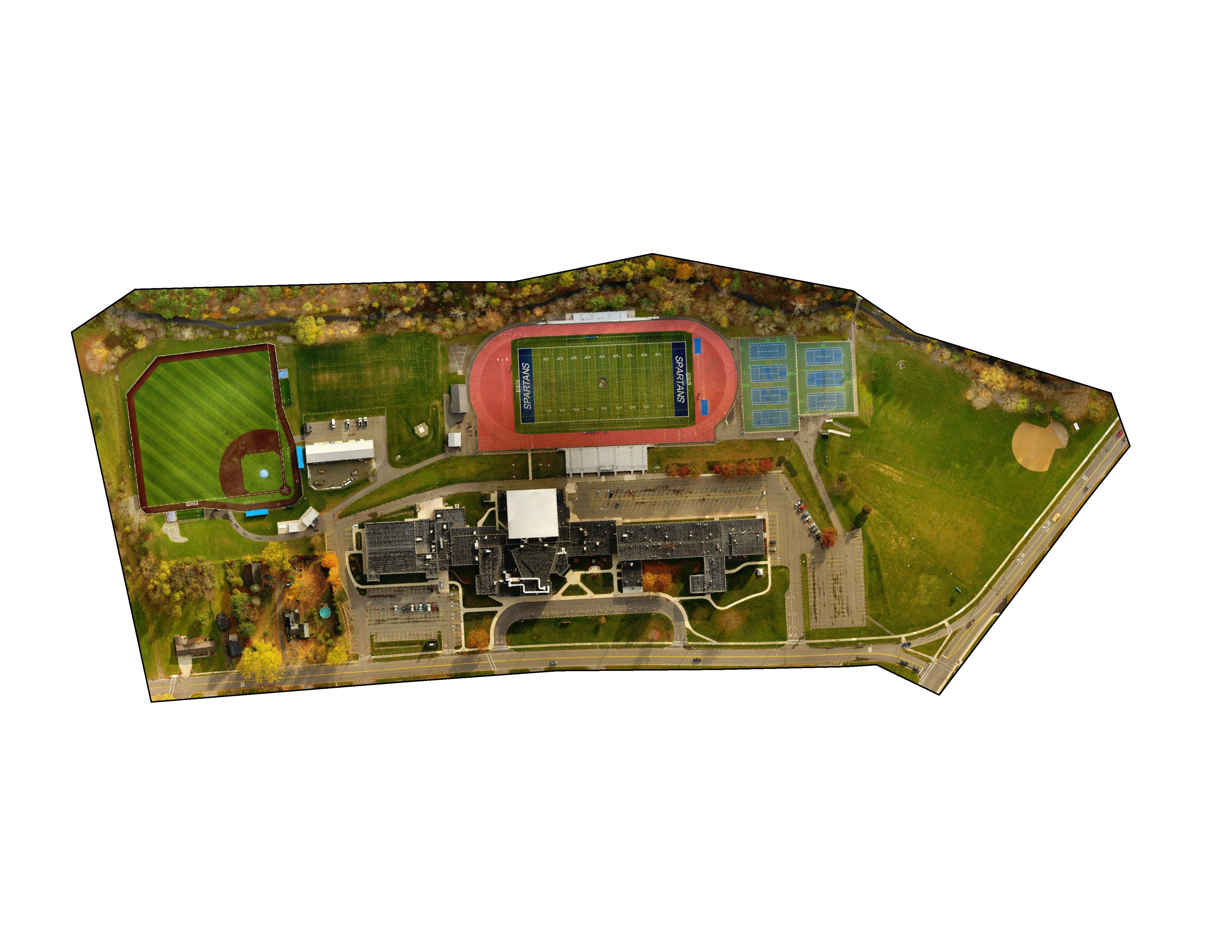
This aerial map (above) was provided as part of the deliverable package to the school. A PDF file of this map can be found below to view a higher resolution of the aerial image. A georeferenced tiff image was also provided with even higher resolution.
Project Files